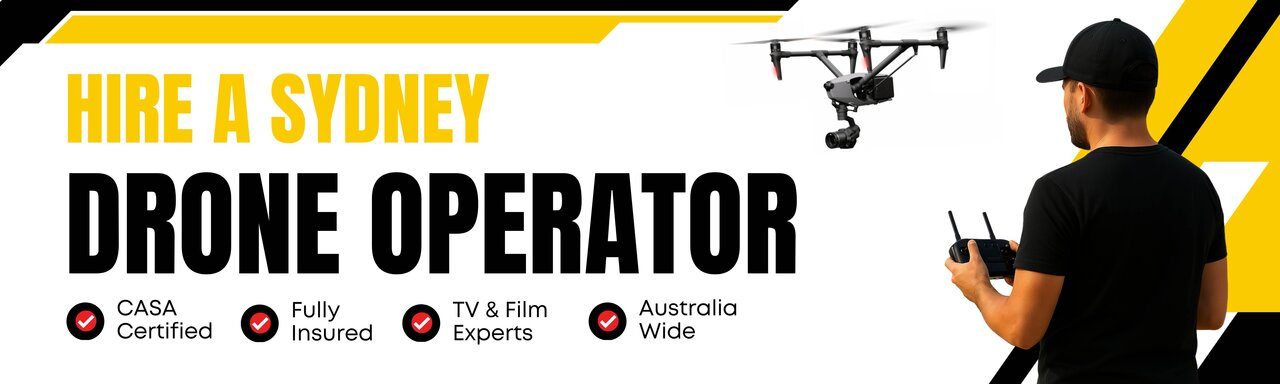
Drone RLs and Level Views
At Flying Glass, we specialise in capturing drone RLs and level views to support architects, property developers, building companies, and visualisation studios across Australia. With decades of aviation experience and industry-leading drone technology, our service provides reliable, precise, and visually impactful level views to assist with marketing materials, development applications, and architectural renders.
We understand that in a competitive development environment, a clear view can make all the difference. Our drone RL services allow your team to demonstrate future views to clients, councils, and investors, ensuring confidence in your project’s value and potential. These views can also help with layout planning, environmental assessments, and visual impact studies.
What Are Drone RLs and Level Views?
Drone RLs and level views refer to a specialist service where a drone is flown to predetermined RLs (Reduced Levels) to capture photographs or videos at the exact height of each proposed floor in a future development. These images are then used in architectural visualisations, 3D renders, and marketing materials to showcase the view from each level of a proposed residential or commercial tower.
This service is particularly valuable during the pre-construction phase when developers and marketing teams need to demonstrate the outlook from upper floors for off-the-plan buyers. Similarly, architects and rendering companies rely on accurate height-based imagery to produce compelling, accurate visualisations. The clarity and accuracy provided by drone RLs is impossible to replicate from street level or simulated software projections alone.

Why Drone RLs Are Essential for Developers
Whether you’re planning a boutique development or a multi-storey complex, accurate drone level views are essential. Our RL drone photography services offer:
- Precise Height Calibration: Captured using professional GPS-assisted drones and flight logging systems.
- Floor-by-Floor Views: Easily mapped to your RL schedule or architectural plans.
- Optimised for Marketing and Renders: Supplied in high resolution for use in brochures, websites, and 3D rendering pipelines.
- Fast Turnaround: Ideal for tight marketing or DA submission timelines.
- Data-Driven Outcomes: Integrated with planning tools and view analysis reports.
These benefits are not just conveniences – they’re competitive advantages. In today’s real estate market, off-the-plan buyers want to know exactly what they’re purchasing. With our drone RL photography, you can show them. That clarity builds trust and supports sales conversations at every level.
Marketing suites, investor packs, and interactive websites all benefit from including real imagery from drone-captured RLs. By grounding renders and architectural models in authentic visuals, you enhance both appeal and credibility.
Who Uses Drone RL Photography?
Our drone RLs and level views service is used widely across the Australian property and construction industry:
- Property developers preparing for off-the-plan sales
- Architects integrating drone level views into renders
- Town planners preparing documentation for DAs
- 3D visualisation and rendering companies
- Builders needing stakeholder visuals before site works begin
- Real estate marketers and agencies promoting premium listings
- Landscape designers assessing view corridors
- Environmental consultants conducting view impact studies
- Councils and urban designers reviewing visual assessments
We’ve also worked with councils and consulting engineers who need RL-specific views for environmental assessments, sun studies, and shadow impact analysis. Drone RLs allow these professionals to produce more accurate documentation for public consultation or design review panels.
Our Process for Drone RLs and Level Views
We make the process seamless for your project team. Here’s how it works:
- You provide us with the site address and the RLs or floor heights you need captured.
- We conduct a quick airspace check and flight plan approval (including CASA permissions if required).
- Our licensed drone operators fly to the specified heights, capturing images at each requested RL.
- You receive a labelled folder of high-resolution images, sorted by level and direction.
We can also work off-site plans or architectural documentation if needed, and we’re happy to liaise with your architect or marketing team to ensure consistency across your campaign. If you have existing renders, we can match lighting and angles to blend seamlessly with your digital assets.
Once delivered, the imagery is ready for post-production – whether that’s straight into a 3D rendering workflow or into your web development assets. We deliver in the file formats your team prefers, and can supply stills, 360-degree views, and cinematic-style footage on request. Our crews are briefed to work quietly and efficiently, respecting privacy and access requirements across all sites.
Why Choose Flying Glass?
Flying Glass has a reputation for excellence across Australia. Our clients trust us because:
- We hold a full Operator’s Certificate (OC) and work in compliance with CASA regulations.
- Our pilot team includes aviation professionals with over 30 years of flying experience.
- We offer consistent results, clear communication, and full image ownership upon delivery.
- We’ve worked on major developments from Sydney, Brisbane, Melbourne – to regional NSW and beyond.
- While we’re based in Sydney, we have experienced drone crews operating across the country and can service projects nationwide.
We also work with tight deadlines. If you need RL photography completed urgently for an investor presentation, planning submission or marketing launch – we can prioritise accordingly and offer same-day or next-day services in many areas. Our clients often tell us they’re surprised how easy we make the process, and how quickly the images improve the impact of their presentations.
What Formats Can You Receive?
Clients typically request RAW stills, but we can also provide:
- Panoramic views stitched across cardinal directions
- 360-degree aerial panoramas
- Raw video footage at each RL height
- Time-stamped files with height and GPS data embedded
- Virtual walkthrough mock-ups using still imagery
- Custom overlays showing sight lines or future skyline outlines
We’re happy to tailor delivery based on your render workflow or developer portal needs. We understand how critical this imagery is to high-value developments and treat every job with precision and discretion. Whether you’re working on a residential high-rise, a mixed-use precinct, or a coastal development, we adapt our workflow to suit the unique visual requirements of each site.
When You Might This Service
In addition to drone RLs and level views, clients often come to use when they need:
- Drone services for architects
- Drone marketing for property developers
- Aerial RL surveys
- Pre-construction drone views
- Drone imagery for off-the-plan sales
- Drone architectural photography Australia
- Drone elevation views for marketing
- Level height drone photos
- Development visualisation drone services
- Drone photos for urban planning
Do You Need Permission for Drone Level Views?
We handle all CASA permissions and risk assessments for you. Whether you’re in controlled airspace, flying near buildings, or need approval for out-of-hours access, we manage the logistics so your team can stay focused on design, sales, and approvals. Our background in aviation ensures that safety and compliance are built into every shoot plan, no matter how complex the location or airspace.
Work With Us
If you need drone RLs and level views captured for your upcoming development, contact Flying Glass today. We’ll take care of the approvals, logistics, and photography so you get the precise images your team needs for marketing, approvals, and architectural design.
Whether you’re a Sydney-based developer or an architect working on regional projects, our experienced team and high-end equipment are ready to support your vision – one level at a time. We understand that these views aren’t just photographs. They’re the future of your project, visualised before a single brick is laid.