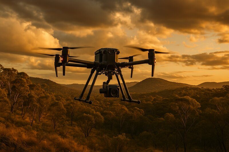
LiDAR Drone: Revolutionising Aerial Surveying in Australia
The evolution of drone technology has dramatically reshaped aerial surveying, and LiDAR-equipped drones are at the forefront of this transformation. From capturing detailed topography beneath thick vegetation to delivering precise 3D models for urban planning, a LiDAR drone offers solutions that traditional methods often can’t match. At Flying Glass, our fleet of high-end drone platforms is equipped to deliver exceptional LiDAR services across Australia, tailored for industries that demand accuracy, efficiency, and reliability.
In this in-depth guide, we explore how LiDAR and drones work together to collect rich spatial data, the industries benefitting from this technology, and how Flying Glass provides cutting-edge drone LiDAR solutions for projects across the country.
What Is a LiDAR Drone?
A LiDAR drone is a remotely piloted aircraft equipped with a Light Detection and Ranging (LiDAR) sensor. LiDAR uses pulsed laser light to measure distances from the drone to the ground or objects below. By firing thousands of laser pulses per second and measuring the time it takes for each pulse to bounce back, LiDAR systems generate extremely detailed 3D point clouds.
When combined with GPS and inertial measurement data, these point clouds form the basis of detailed terrain models, elevation maps, and structural outlines. Unlike photogrammetry, LiDAR can capture ground data even through dense vegetation or in low-light conditions, making it indispensable for specific applications.
The pairing of LiDAR and drones creates a versatile, agile system for conducting surveys that traditionally required aircraft or labour-intensive manual methods. It’s a game-changer for mapping, inspection, and environmental analysis.
Flying Glass: LiDAR Drone Services for Australia
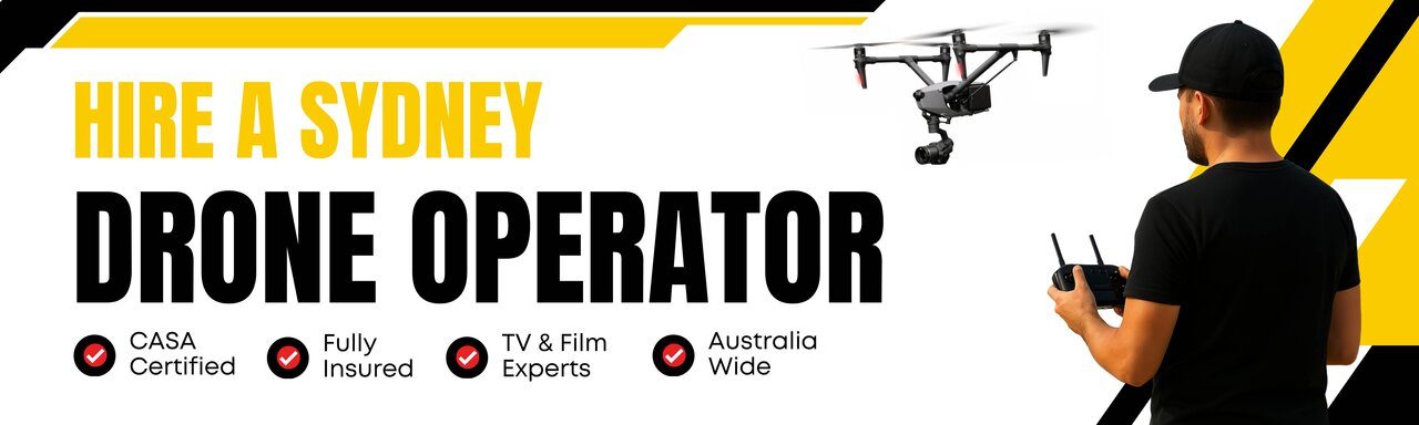
At Flying Glass, we specialise in cinematography and advanced aerial data acquisition. Our drone for LiDAR capabilities are designed to support clients across construction, infrastructure, environmental science, and mining sectors. Whether you’re in Sydney, Melbourne, Perth, or a remote mining location, we provide tailored LiDAR solutions with precision.
Our drones, including heavy-lift models and the DJI Matrice series, are paired with industry-leading LiDAR sensors and real-time kinematic (RTK) positioning systems for unmatched accuracy. Our operators are fully licensed under CASA regulations, and our experience in flight planning, data acquisition, and processing ensures a seamless workflow from start to finish.
We invite you to view our latest projects in action by checking out our showreel.
Key Benefits of Using a Drone with LiDAR
Deploying a drone with LiDAR provides several advantages over conventional survey methods:
- Access Difficult Terrain: Drones can fly over challenging landscapes like mountains, rivers, and dense forest without needing to set up ground-based equipment.
- Vegetation Penetration: LiDAR pulses can penetrate tree canopies, capturing ground-level data not possible with photogrammetry.
- Speed: Surveys that once took days or weeks can now be completed in hours.
- Accuracy: High-resolution LiDAR imagery offers centimetre-level precision, suitable for engineering-grade applications.
- Safety: Reduces the need for personnel to work in hazardous areas.
How LiDAR Surveys Work
A LiDAR survey involves several key steps:
- Flight Planning: We evaluate your site and define flight paths based on altitude, required accuracy, and project goals.
- Data Capture: Our drone-mounted LiDAR sensor emits laser pulses while onboard RTK systems record precise positioning.
- Point Cloud Generation: Each pulse returning to the sensor is logged, creating a 3D point cloud.
- Post-Processing: We clean, classify, and georeference the data using professional software.
- Deliverables: Clients receive a detailed 3D model, digital terrain model (DTM), digital surface model (DSM), contour maps, and other data outputs tailored to the project.
This entire process can be executed quickly and efficiently, allowing for rapid decision-making and accurate planning.
Applications of LiDAR Drones Across Australia
1. Urban Development & Planning
Governments and councils use drone LiDAR to assess flood risk, visualise urban sprawl, and model future infrastructure. The accuracy of the models assists in traffic planning, drainage analysis, and site feasibility studies.
2. Environmental Monitoring
From bushfire recovery assessments to monitoring erosion and vegetation density, LiDAR imagery offers time-stamped, repeatable snapshots of the landscape, helping environmental scientists and conservationists track changes over time.
3. Construction & Infrastructure
Before the first shovel hits the ground, LiDAR drones help developers assess site conditions, calculate cut/fill volumes, and verify as-built conditions. Repeat flyovers track project progress with minimal disruption.
4. Mining & Resource Management
Survey large open-pit mines or tailings dams with ease. Our drone LiDAR services allow for volumetric calculations, terrain mapping, and change detection in mining environments.
5. Forestry & Agriculture
Calculate canopy height, biomass, and yield potential. Drones for LiDAR make it easier to analyse forest structure, plan logging roads, or design irrigation systems.
6. Utilities & Infrastructure Maintenance
Inspect high-voltage powerlines, pipelines, or transport corridors. Our LiDAR solutions are ideal for detecting encroachments, terrain shifts, and structural anomalies.
Choosing the Right LiDAR System
At Flying Glass, we understand that no two projects are the same. That’s why we offer modular payloads:
- Lightweight LiDAR units: Ideal for rapid surveys or smaller drones.
- High-end systems: For ultra-dense point clouds and geospatial-grade outputs.
Choosing the right drone for LiDAR involves understanding your desired resolution, vegetation cover, terrain complexity, and post-processing goals. We help our clients strike the perfect balance between cost and accuracy.
LiDAR vs Photogrammetry: Which Is Right for You?
Both tools have their place, and we offer both services. Drone LiDAR excels in:
- Mapping under tree cover
- Projects requiring sub-5 cm vertical accuracy
- Generating bare-earth models from vegetated terrain
Photogrammetry, by contrast, is better suited for visual inspections, texture-rich models, or when budget is a limiting factor.
Why Choose Flying Glass for LiDAR Surveys in Australia?
- CASA Licensed Operators: Our team adheres to the highest safety and operational standards.
- Cinematography Expertise: We understand light, angles, and composition. Even our LiDAR flights benefit from that eye for detail.
- Heavy-Lift Drones: Capable of lifting high-spec sensors with long endurance.
- Nationwide Coverage: Based in Sydney, we fly projects across NSW, VIC, QLD, and more.
Frequently Asked Questions
What is the cost of a drone LiDAR survey?
Costs vary based on project size, terrain complexity, and required accuracy. We offer fixed quotes after a brief consultation.
Can LiDAR capture under trees?
Yes. That’s one of its major advantages. Unlike cameras, LiDAR pulses can reach the ground through gaps in the canopy.
How accurate is drone LiDAR?
With RTK/PPK corrections, vertical accuracy can be better than 5 cm, depending on sensor and flight parameters.
Do you provide raw data or processed outputs?
Both. We can deliver raw point clouds, or fully processed GIS-ready data based on your preferences.
The Future of LiDAR in Australia
As sensor prices fall and processing tools improve, LiDAR in Australia is set to become even more widespread. At Flying Glass, we’re investing in next-generation platforms and training to stay at the forefront of innovation.
Whether you’re surveying a dense rainforest, modelling a CBD development site, or assessing coastal erosion, we have the tools and experience to deliver clear, actionable data.
Ready to Fly?
Contact us to discuss how our LiDAR drone services can elevate your next project. Whether you need a rapid terrain survey, detailed 3D modelling, or regular condition tracking, Flying Glass delivers high-quality data, fast.